On my way down to Lexington, VA for Memorial Weekend Vacation. I had a chance to make few stops at George Washington National Forest. From the research that I did, there are a lot of places to go at this forest. With the time limit that I had, I can only visit a few easy places.
First stop - Woodstock Tower. I drove all the way up to the trail and some people hike. It was not easy to drive the narrow, uphill dirt road with some tight switchbacks.
Information from Forest Service website -
http://www.fs.usda.gov/recarea/gwj/recreation/natureviewing/recarea/?recid=74047&actid=62
You can easily search the detail online if you plan to hike up.
 |
| Woodstock Tower Observation Site Trail Head at Woodstock Tower Road |
 |
| Woodstock Tower |
 |
| View to the east from Woodstock Tower - Shenandoah River |
 |
| View to the west from Woodstock Tower - Shenandoah National Park |
Second stop is Storybook Trail.
Information from Forest Service website -
http://www.fs.usda.gov/recarea/gwj/recreation/wateractivities/recarea/?recid=79259&actid=50
 |
| Storybook Trail Trail Head |
 |
| View from Storybook Trail - Shenandoah National Park |
Side note - Discovery Trail that is nearby was kind of abandoned. The Lion Tale trail need another 6 miles drive on a dirt road that I can only go 15mph max with my CRV. So I quit after 1 mile in, because I do not have the 1 hour for the round trip in and out.
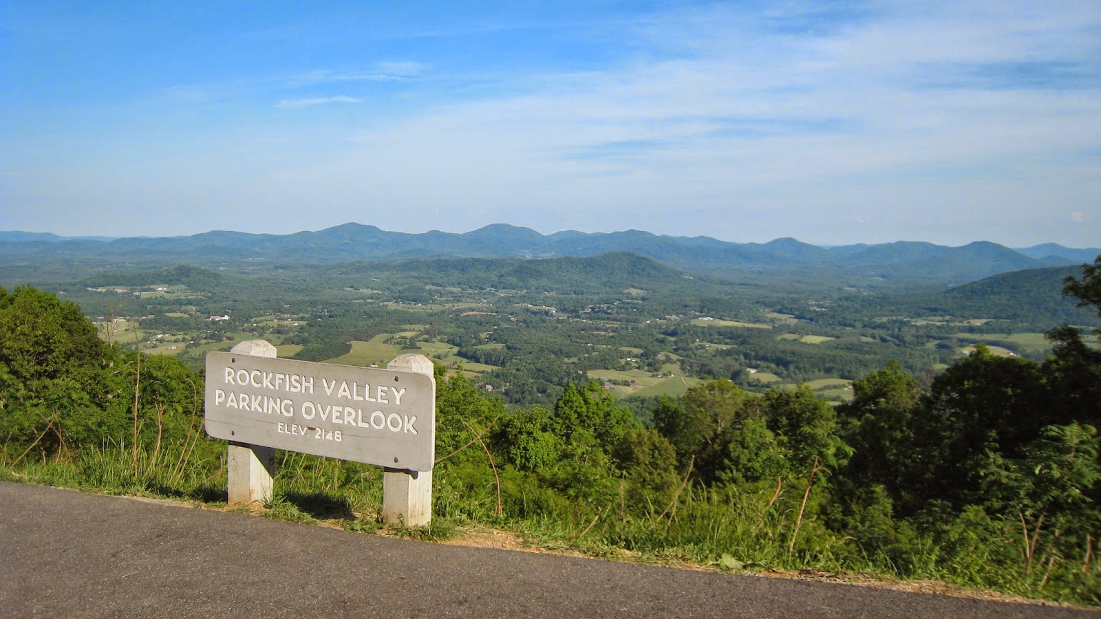
Third stop is North Mountain Overlook
Information from Forest Service website -
http://www.fs.usda.gov/recarea/gwj/recreation/camping-cabins/recarea/?recid=78545&actid=50
 |
| View at North Mountain Overlook |
side note - I cannot find the Cocks Comb Trail and Rhododendron Trail on the same road
. The road was quite a tough drive.